
Mount Gambier · about 21 km from Port MacDonnell
Piccaninnie Ponds
Closed to divers
Closed to diving and snorkelling since February 2023, after an outbreak of filamentous algae; Parks SA issues no permits 'until further notice' (notice of 11 July 2024).
- Max depth110 m
- CertificationCavern
Diving and fills
Dive here with
No dive centre guides here yet. Do you dive here with guests? Add your centre for free →
Now at Piccaninnie Ponds
What it looks like
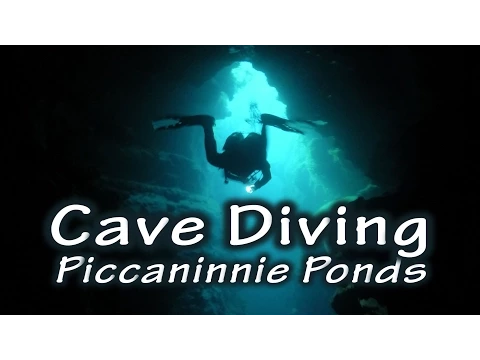
Cave Diving in Piccaninnie Ponds The Piccaninnie Ponds Cave Diving Disasters | Cave Diving Horror Stories Piccaninnie Ponds | Sinkhole Scuba Diving | 20210217 Diving Piccaninnie Ponds /South Australia/Cave diving Australia
All 4 videos and posts
Videos and posts
From other divers, via YouTube, Instagram and Facebook. They only load when you click; after that, Google's or Meta's privacy rules apply.
Cave Diving in Piccaninnie Ponds The Piccaninnie Ponds Cave Diving Disasters | Cave Diving Horror Stories Piccaninnie Ponds | Sinkhole Scuba Diving | 20210217 Diving Piccaninnie Ponds /South Australia/Cave diving Australia
Search for more onYouTube ↗Instagram ↗Facebook ↗
Other people's footage, not advice: how someone else dives here says nothing about what suits your team. Dive within your training.
The dive
Spring-fed karst ponds with visibility of more than 40 m. The area has been a Ramsar site since 2012. The CDAA mapped the ponds in 1984–85; in 2008 rebreather divers went into the deep Chasm.
1 earlier accident or incident has been reported at this cave. Read what happened ↓
Profile and sections
Spring-fed karst ponds with visibility of more than 40 m.
The area has been a Ramsar site since 2012. The CDAA mapped the ponds in 1984–85; in 2008 rebreather divers went into the deep Chasm.
- Depth and profile
- First Pond ~10 m with a silt floor, Cathedral ~35 m, The Chasm deeper than 100 m (explored to 110 m with special permission). Diving to 36.5 m at most and only in First Pond, Chasm and Cathedral.
- Configuration
- Open ponds and a wide chasm: every configuration fits (estimate).
- Gas
- Trimix from 40 m
Who can dive where
- At least Cavern
- Configurations: Backmount / twinset / Sidemount / CCR / Small cylinders / no-mount (speleo sumps)
- Goes down to 110 m (trimix or deco may be needed)
This is how the planner decides who in your team may dive this cave. Rules your own trip adds (organizer, a mail, the AI) show with your trip.
How to get there
In Piccaninnie Ponds Conservation Park near Wye, ~32 km south-east of Mount Gambier, close to the Victorian border. When open: permit online from Parks SA, 1-hour slots, at most 2 a day, teams of 2–4 and at most 8 per slot, CDAA member with sinkhole rating (now Basic Cave).
Around Piccaninnie Ponds
FillsNo fill station known nearby
News
All (1)
Accidents and incidents
What happened at this cave before, with the sources. No names are given; read it as a lesson for your own planning.
- Fatal accidents in 1972, 1974 and 1984; the 36.5 m depth limit came after them.
Access and rules change: check what applies locally right before your trip. Source: GDELT Project and the news feeds of diving magazines. Search for more news ↗ Searched automatically, last on 5 Nov 2026.
Going to Mount Gambier with your team?
Marcel finds the sites that match your team's certifications.
Plan a trip